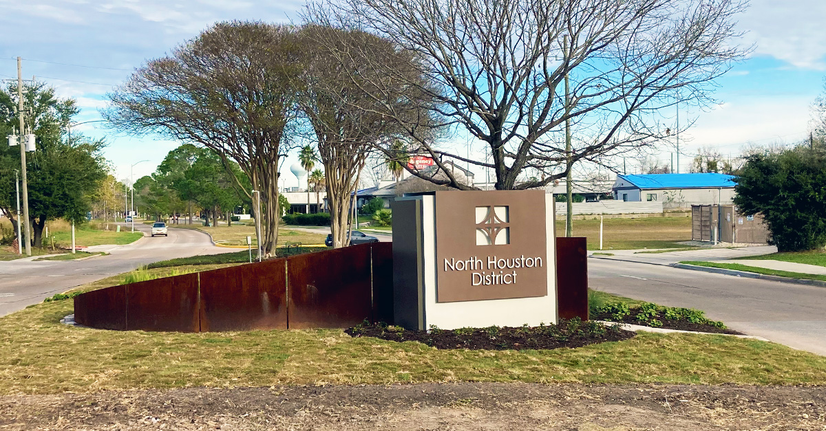
The 20-acre property sits along Greens Bayou, located on Imperial Valley Drive in the North Houston District’s Northeast quadrant.

Property Has a History of Flooding
The apartment complex suffered a severe flood on Tax Day in 2016. Closely following that initial damage, residents experienced another flood the very next year, as Hurricane Harvey caused historic flooding across the city.
Following these two major flooding incidents, the Biscayne at City View Apartments were identified as being in Greens Bayou floodway, a designation for an area that is expected to flood. In an effort to remove these units from harm’s way, the City of Houston and the Harris County Flood Control District jointly purchased the property in 2021, each contributing $18.8 million to this project, for a total budget of $37.8 million.
“The North Houston District is working with the Harris County Flood Control District on possibilities for the new greenspace,” said Robert Fiederlein, NHD Vice President of Planning and Infrastructure, adding, “The District wants it to serve a greater purpose for the community and be an amenity, not just a buffer zone.”
Repurposing the Property
Once the demolition is fully complete, the North Houston District hopes the property will be turned into a dual-use greenspace that can be used for recreation as well as flooding overflow from the nearby bayou.
“The North Houston District is working with the Harris County Flood Control District on possibilities for the new greenspace,” said Robert Fiederlein, NHD Vice President of Planning and Infrastructure, adding, “The District wants it to serve a greater purpose for the community and be an amenity, not just a buffer zone.”

Plans Taking Shape for a ‘Central Park’
NHD has engaged landscape architecture firm Asakura Robinson—which completed the 2023 Parks Master Plan commissioned by the District—to develop schematic planning for a Central Park that will include the former Biscayne property. North Houston District is funding this project, with $30,000 earmarked for the schematic planning.
“The City and Flood Control District have been great partners so far. We’re making great progress, and we look forward to continuing our strong partnership to benefit the North Houston community,” Fiederlein said.
“The City and Flood Control District have been great partners so far. We’re making great progress, and we look forward to continuing our strong partnership to benefit the North Houston community,” Fiederlein said.
About the Harris County Flood Control District
The Flood Control District is a special purpose district created by the Texas Legislature in 1937 and governed by Harris County Commissioners Court. Its jurisdictional boundaries coincide with Harris County, which includes the City of Houston. The other boundaries are the 23 primary watersheds within Harris County’s 1,777 square miles. Each watershed has its own independent flooding problems and unique challenges. Learn more at hcfcd.org.